Southern Spain collides with Africa as earthquakes expected to surge
By Molly Grace • Updated: 09 Jan 2026 • 10:41 • 3 minutes read
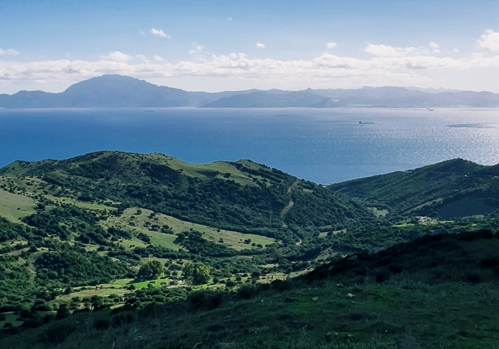
Spain lies close to the boundary where the African plate moves northwards against the Eurasian plate. Photo Credit: Molly Grace
Southern Spain sits at the heart of one of Europe’s most seismically active regions due to the slow but constant convergence of the African and Eurasian tectonic plates. This geological process has made Málaga, Almería, Granada and Murcia the provinces with the highest level of earthquake activity in Spain, according to geological research and national monitoring data.
The movement of the plates is gradual, advancing by only a few millimetres each year. However, the stress that builds up in the Earth’s crust as a result is released through frequent earthquakes, most of which are small but regularly felt by residents across southern and south-eastern Spain.
The tectonic forces beneath southern Spain
A complex plate boundary under the Alborán Sea
Spain lies close to the boundary where the African plate moves northwards against the Eurasian plate. This interaction is particularly complex beneath the Alborán Sea, the stretch of Mediterranean water between southern Spain and North Africa. Rather than a single fault line, the area contains a dense network of faults and fractured crust.
This tectonic setting affects the Betic Cordillera, which runs through much of Andalucia, and extends eastwards into Murcia. Compression and sideways movement between plates deform the crust, causing seismic energy to be released. Scientists regard this region as one of the most geologically active zones in western Europe.
Why these provinces are most affected
Geography and fault systems converge
Málaga, Almería, Granada and Murcia are located above or near several active fault systems. Granada experiences particularly frequent earthquakes due to shallow faults beneath the Granada Basin. Almería and Málaga are influenced by offshore seismic activity originating in the Alborán Sea, while Murcia is affected by inland fault systems such as the Alhama de Murcia fault.
Because many of these earthquakes occur at shallow depths, even moderate tremors can be felt clearly by the population. This contributes to a higher perception of seismic risk, even though most events do not cause structural damage.
Recent seismic activity and monitoring
Constant surveillance by national networks
Spain’s National Geographic Institute records thousands of earthquakes each year, with the highest concentration consistently detected in the south and south-east of the country. The vast majority of these tremors are below magnitude 3 and pass without incident, although clusters of stronger earthquakes occur periodically.
Authorities stress that this pattern is expected given the region’s geological characteristics. While earthquakes cannot be predicted, continuous monitoring allows scientists to study trends and refine seismic hazard assessments.
What this means for safety and infrastructure
Preparedness rather than alarm
Experts emphasise that higher seismic activity does not mean southern Spain faces an imminent disaster. Building regulations in Andalucia and Murcia already incorporate seismic risk, and emergency response systems are designed to deal with earthquakes of varying intensity.
Public awareness campaigns focus on preparedness rather than fear, encouraging residents to understand basic safety measures. Specialists also note that frequent small earthquakes may help release accumulated energy over time, although this does not eliminate the possibility of stronger events.
Key points
- Southern Spain lies along the boundary between the African and Eurasian plates.
- Málaga, Almería, Granada and Murcia record the highest seismic activity in Spain.
- Earthquakes are caused by slow, continuous plate convergence.
- Most tremors are minor and cause little or no damage.
- Monitoring and building standards help manage, but not remove, risk.
A permanent geological reality
A region shaped by deep-time forces
The convergence of Africa and Europe is a long-term geological process that will continue for millions of years. As a result, southern Spain will remain the country’s primary seismic zone.
While earthquakes can be unsettling, scientists stress that understanding the underlying geology is essential for managing risk. For Málaga, Almería, Granada and Murcia, seismic activity is not an exception, but a defining feature of the region’s natural landscape.
Sign up for personalised news
Subscribe to our Euro Weekly News alerts to get the latest stories into your inbox!
By signing up, you will create a Euro Weekly News account if you don't already have one. Review our Privacy Policy for more information about our privacy practices.


Molly Grace
Molly is a British journalist and author who has lived in Spain for over 25 years. With a background in animal welfare, equestrian science, and veterinary nursing, she brings curiosity, humour, and a sharp investigative eye to her work. At Euro Weekly News, Molly explores the intersections of nature, culture, and community - drawing on her deep local knowledge and passion for stories that reflect life in Spain from the ground up.
Comments