Mud rain alert: DANA rain system to bring heavy downpours and Saharan dust to Spain this week
By Adam Woodward • Published: 05 Apr 2026 • 19:18 • 2 minutes read
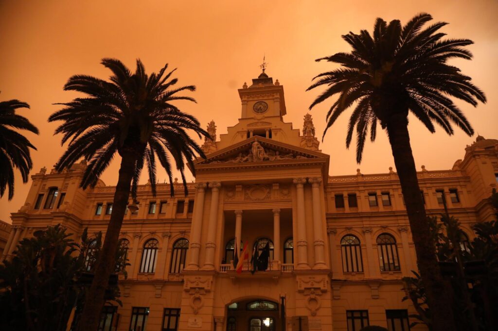
Malaga Town Hall drenched with mud rain in 2022. Credit: Ayuntamiento de Malaga X
After a delightful Easter weekend with temperatures reaching 30ºC in parts, big weather changes approach Spain for the beginning of the week as a polar trough develops into a powerful rain storm, otherwise know in Spain as a “DANA” low-pressure system. Residents along the Costa del Sol, Costa Tropical and Mallorca need to watch for contrasting conditions with heavy rain in western regions mixing with a “calima” dust storm affecting their local areas.
Western Spain braced for torrential rain
Models indicate the DANA will form midweek and position itself initially near Portugal before shifting towards the Gulf of Cadiz and Canary Islands. Heavy showers and thunderstorms will sweep across western Andalucia, Extremadura and parts of Castilla y Leon. Accumulations could reach 50mm in 24 hours around Cadiz and Sevilla provinces, with 40mm possible in central Extremadura. Some parts are likely to see up to 40mm of rainfall.
High temperatures and calima dominate Mediterranean coast
Eastern and southern Spain including Costa Blanca, Murcia, Almeria, Granada areas and Mallorca will stay largely dry. Subtropical high pressure will drive very warm conditions together with an intrusion of Saharan dust. Skies may appear hazy with reduced visibility as dust particles linger in the atmosphere. Temperatures will climb well above seasonal averages across these popular regions.
Risk of muddy showers as Saharan dust meets rain
Uncertain positioning of the DANA leaves open the possibility of some showers reaching Mediterranean communities if easterly winds establish. Calima dust suspended in the air could then mix with any precipitation to create Spain’s rare, but famous, mud rain, leaving vehicles and outdoor surfaces coated in reddish-brown residue. Meteorologists are monitoring the situation closely for any shifts that might bring isolated showers to the east.
🪣🟤 ¡Calima va!
La posición de la dana que estima el modelo europeo será idónea para bombear polvo del sahariano hacia la península.
🗞️ https://t.co/HuJaYujLsw pic.twitter.com/p6Gii8JENL— Meteored España (@MeteoredES) April 5, 2026
What residents should prepare for
Local forecasts suggest the unsettled pattern will continue into Friday with most significant rain confined to more western areas. Anyone travelling westward from Malaga or Alicante should check updates for road conditions. Coastal areas in the east will enjoy warmer days but may need to limit time outdoors during peak calima intensity to avoid respiratory irritation. And don’t leave your washing out if it clouds over!
Sign up for personalised news
Subscribe to our Euro Weekly News alerts to get the latest stories into your inbox!
By signing up, you will create a Euro Weekly News account if you don't already have one. Review our Privacy Policy for more information about our privacy practices.


Adam Woodward
Adam is a writer who has lived in Spain for over 25 years. With a background in English teaching and a passion for music, food, and the arts, he brings a rich personal perspective to his work at Euro Weekly News. As a father of three with deep roots in Spanish life, Adam writes engaging stories that explore culture, lifestyle, and the everyday experiences that shape communities across Spain.
Comments