Snow may return to Spain next week after sudden Arctic weather warning
By Farah Mokrani • Published: 09 May 2026 • 14:17 • 3 minutes read
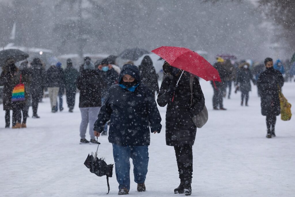
Spain could see snow return next week as Arctic air pushes temperatures down. Credit : alvarobueno, Shutterstock
After weeks of storms, heavy rain and unstable weather, Spain could now be heading towards another sharp change with forecasters warning that Arctic air may bring an unusually cold spell next week, including fresh snow in mountain areas.
Weather models followed by meteorologists at Meteored suggest temperatures could plunge again from the middle of next week as a ‘nortada’ pushes colder air south across the country. Some forecasts are even pointing towards snowfall returning to parts of the Pyrenees and other mountain ranges despite Spain already being well into May.
For many people hoping warmer spring weather had finally arrived, the latest forecasts are looking more like March than the start of summer.
What is a nortada and why could it affect Spain next week?
A nortada is a weather pattern caused by cold northern winds descending from Arctic regions towards the Iberian Peninsula. When it develops strongly enough, temperatures in Spain can drop suddenly even during late spring or early summer.
According to Meteored, the first wave of cooler air arriving this weekend may only be the beginning.
Meteorologists are now closely monitoring a second possible influx of cold maritime air expected next week, which could create a much stronger cooling effect across large parts of the country.
Current models suggest the setup may form through a combination of Atlantic high pressure and several nearby low pressure systems creating a corridor that allows colder air to sweep southwards into Spain.
If the forecasts hold, the weather is expected to start becoming more unstable again from Wednesday onwards. But according to Meteored, the biggest temperature drop may not arrive until Friday and the following weekend.
Some forecasts are already showing temperature anomalies approaching 15°C below normal in certain areas. That would represent a major shift after recent weeks of unstable but relatively mild spring conditions.
Snow could return to Spanish mountains in the middle of May
One of the most surprising parts of the forecast is the possibility of fresh snow accumulating in several mountain regions.
Meteorologists say the combination of colder air and continued rainfall could lower snow levels enough for snowfall to return to higher elevations across parts of northern and central Spain.
According to Meteored, some areas of the Pyrenees and central mountain ranges could receive between 5 and 10 centimetres of fresh snow during the first phase of the cold spell.
Forecasts for next weekend are even more striking. Current projections suggest parts of the Pyrenees could accumulate up to 30 centimetres of new snow if the colder air fully develops as expected.
Some areas of the Cantabrian Mountains may also see snow accumulation approaching 10 centimetres. While snowfall in high mountain regions during May is not impossible, the timing still feels unusual after several weeks where parts of Spain were dealing with storms, hail and sudden bursts of warm weather almost at the same time.
The constant swings between warm and cold conditions have left many people wondering whether spring will properly settle at all this year.
The colder weather may spread far beyond northern Spain
The possible temperature drop is not expected to remain limited to the north.
According to current forecasts, colder conditions could gradually spread towards eastern and southern parts of mainland Spain later next weekend.
The Balearic Islands and even parts of the Canary Islands may also notice the change. That could mean another difficult week for anyone already frustrated by Spain’s unusually unstable weather this spring.
Large parts of the country have spent weeks alternating between sunshine, torrential rain, thunderstorms and sudden temperature swings. In some regions, people have barely had time to put winter clothes away before needing them again.
Meteorologists are still being cautious because weather models can change significantly several days in advance, especially with this type of atmospheric setup. Even Meteored says the forecasts need to be monitored closely over the coming days to confirm exactly how intense the nortada may become.
But if current projections are confirmed, Spain could soon find itself dealing with another abrupt return to cold weather just as many people were expecting spring temperatures to stabilise. And for mountain areas, winter may not quite be finished yet.
Sign up for personalised news
Subscribe to our Euro Weekly News alerts to get the latest stories into your inbox!
By signing up, you will create a Euro Weekly News account if you don't already have one. Review our Privacy Policy for more information about our privacy practices.


Farah Mokrani
Farah is a journalist and content writer with over a decade of experience in both digital and print media. Originally from Tunisia and now based in Spain, she has covered current affairs, investigative reports, and long-form features for a range of international publications. At Euro Weekly News, Farah brings a global perspective to her reporting, contributing news and analysis informed by her editorial background and passion for clear, accurate storytelling.
Comments