AEMET warns violent dry storms could hit these parts of Spain within hours
By Farah Mokrani • Updated: 27 May 2026 • 12:41 • 4 minutes read
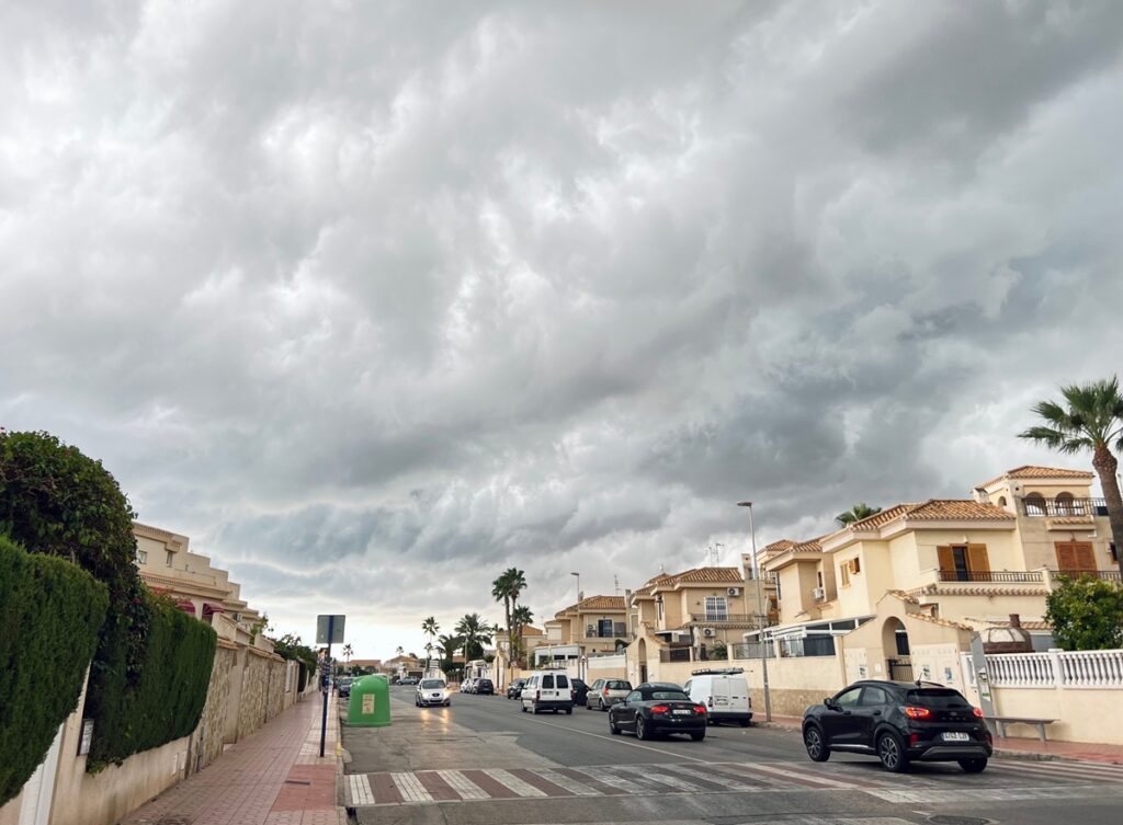
Forecasters have warned of dangerous dry storms, lightning and violent winds across parts of Spain this week. Credit : marinissim, Shutterstock
A lot of people across Spain are looking outside right now and thinking the same thing : It feels like July arrived a month early.
The heat has become intense surprisingly fast, terraces are already packed in many cities and temperatures in some areas are moving dangerously close to 40C even though summer has not officially started yet.
But meteorologists are now warning that the real danger this week may not actually come from the heat alone. Because while Spain bakes under unusually high temperatures, the atmosphere is also becoming increasingly unstable and that combination is creating the risk of violent dry storms capable of producing lightning, giant hail and sudden destructive wind bursts.
And what makes these storms particularly dangerous is how fast they can develop.
In some places, skies may stay bright and calm for most of the day before conditions suddenly turn aggressive within less than an hour.
AEMET has already activated warnings across multiple regions as forecasters monitor what could become one of the most unstable weather setups Spain has seen so far this year.
Why meteorologists are becoming increasingly worried about these storms
Normally when people hear the word storm, they imagine heavy rain first. But this situation is different.
According to weather experts, some of the strongest storm cells expected this week may actually produce very little rainfall while still generating dangerous conditions on the ground. That is why forecasters keep talking about ‘dry storms’.
The main risks come from lightning activity, hail and powerful downdrafts of wind known in Spain as ‘reventones’.
And honestly, these wind bursts can become extremely nasty very quickly.
They can suddenly hit with enough force to bring down branches, damage terraces, move outdoor furniture and create dangerous driving conditions within minutes.
Meteorologists say gusts could exceed 70 or even 80 kilometres per hour in some areas, particularly across inland northern Spain.
The unstable conditions are developing because extremely warm air near the surface is colliding with disturbances arriving higher up in the atmosphere.
Once temperatures climb during the afternoon, clouds can suddenly grow very aggressively. And after several days of heat building up across the country, the atmosphere now contains enough energy for storms to intensify rapidly.
That is exactly why forecasters are watching the situation so closely.
These parts of Spain are facing the highest risk this week
Northern Spain currently appears most exposed to the strongest instability. The Basque Country is under particular attention after AEMET issued an orange alert for Vizcaya where temperatures could approach 37C in lower inland areas.
Across the rest of the region, yellow alerts remain active as temperatures continue climbing well above what would normally be expected for late May. Asturias and Cantabria are also facing a complicated mix of heat and storms.
Both regions are under warnings for high temperatures alongside the possibility of hail, isolated downpours and violent gusts later in the day.
Galicia is dealing with a similar pattern.
In Ourense, temperatures may rise towards 36C while storm warnings remain active across parts of inland Galicia including Lugo.
Further inland, conditions remain unstable across Castilla y León where provinces such as León, Palencia and Zamora are also being monitored closely for hail and strong winds.
And according to European forecasting models, some hailstones in these areas could exceed two centimetres in diameter.
That may not sound enormous at first, until you remember what hail of that size can actually do.
Car windscreens crack, terrace umbrellas collapse, crops can be destroyed in minutes and people caught outside without shelter can easily get injured.
Elsewhere, the heat itself continues becoming a major issue.
Extremadura could see temperatures reaching 38C while parts of Aragón, Catalonia, Navarra and La Rioja also remain under heat alerts.
Meanwhile in Cádiz province, strong Levante winds continue creating difficult coastal conditions near the Strait.
Spain’s weather could become even more unstable by the weekend
What is making meteorologists cautious is that this situation may not end quickly.
Thursday, May 28, is expected to bring another similar afternoon pattern with storms developing again in several northern and inland regions, although current forecasts suggest slightly lower intensity compared with Wednesday.
Still, weather experts are warning people not to relax too much. Because the heat itself is not going anywhere for now.
Minimum nighttime temperatures are also expected to rise over the coming days, meaning many areas may struggle to cool down properly overnight.
And looking ahead towards Friday and the weekend, forecasters are already monitoring another disturbance approaching the Iberian Peninsula.
That could trigger a new escalation in storm activity just as the current heat episode continues building. Some models even suggest storms later this week could become more organised and severe in certain areas.
For many people across Spain, the strange part is how deceptive the weather still looks beforehand.
The day often begins completely normally : Blue skies and strong sunshine.
People sitting outside having coffee. Then suddenly the atmosphere shifts. Clouds rapidly build over the mountains, the wind changes, the sky darkens and within minutes, conditions can become genuinely dangerous.
Which is exactly why meteorologists keep insisting people should pay close attention to official warnings over the next few days. Because this week’s weather is not behaving like a normal late spring pattern anymore.
It already feels much closer to the kind of volatile heat Spain usually sees much deeper into summer.
Follow Euro Weekly News on Google News
Get breaking news from Spain, travel updates, and expat stories directly on your Google News feed.
Follow on Google NewsSign up for personalised news
Subscribe to our Euro Weekly News alerts to get the latest stories into your inbox!
By signing up, you will create a Euro Weekly News account if you don't already have one. Review our Privacy Policy for more information about our privacy practices.





Farah Mokrani
Farah is a journalist and content writer with over a decade of experience in both digital and print media. Originally from Tunisia and now based in Spain, she has covered current affairs, investigative reports, and long-form features for a range of international publications. At Euro Weekly News, Farah brings a global perspective to her reporting, contributing news and analysis informed by her editorial background and passion for clear, accurate storytelling.
Comments