Super El Niño 15,000 km away could flip Spain’s next winter upside down
By Adam Woodward • Published: 16 Aug 2026 • 18:18 • 2 minutes read
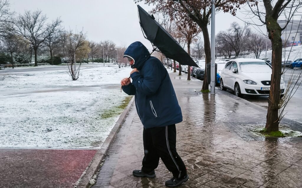
Wild winter on the cards. Credit: Marta Fernández - Shutterstock
Spain keeps baking under what seems like relentless heatwave after heatwave this summer, yet a massive climate driver is already firing up far across the Pacific that looks set to rewrite the rules for winter 2026-27.
Meteorologists put the chance that this Super El Niño will still be influencing European weather well into spring 2027 at an unusually high 95 per cent.
Extra heat building in the tropical Pacific acts like a giant atmospheric engine. It pushes powerful air currents, shifts high and low-pressure systems around the globe, and eventually reaches the jet stream and weather patterns sitting over Europe. Peak strength is expected between November and January, right in the middle of our coldest months.
By November–December, this El Niño will be the strongest any living person has ever experienced. It is expected to completely surpass any previous year by a massive margin.
Combined with ongoing climate change, global temperatures could briefly reach nearly 2°C above… pic.twitter.com/zO0pRntnGA
— Colin McCarthy (@US_Stormwatch) August 15, 2026
Two extremely different winter scenarios on the cards
One possible outcome sees the polar vortex, that huge whirl of cold air sitting high over the Arctic, become unstable. Arctic air then tends to spill south, bringing weeks of hard frosts, snow and bitterly cold nights across large parts of Europe, including Spain’s higher ground and inland areas.
The opposite scenario produces a milder, greyer, wetter winter of the sort many places have seen in recent years. Extra warmth locked into the wider atmosphere keeps temperatures higher than average and encourages more unsettled, rainy spells.
Which version wins out should become clearer over the next few weeks as more detailed model runs arrive. Either way, the basic ingredients for an unusual season are already in place.
Why Europe’s winter is never just about El Niño
Spain’s winters also respond to the polar vortex high above the Arctic Circle, sea temperatures across the North Atlantic, and the exact position of the polar jet stream. Super El Niño can tip the odds, yet those other players still decide the final score.
Readers on the Costa del Sol and inland Andalusia will remember the furnace-summer warnings earlier this year linked to the developing El Niño. July 2026 then delivered Spain’s joint-hottest and driest July on record, as covered in our full report on the extreme month. Recent short-term changes, including the weekend storms and cooler air now moving across the country, show how quickly patterns can change even before the main El Niño peak arrives.
What the official numbers say right now
NOAA’s Climate Prediction Center currently gives a greater than 90 per cent chance of a very strong event through the northern hemisphere’s autumn and winter, with the October-December period carrying a 95 per cent probability of reaching the “very strong” category. Around 69 per cent of the outlook points to a potentially historic episode stronger than any recorded since 1950.
The takeaway is simple: next winter is unlikely to feel routine. Whether that means icy spells or another stretch of mild, damp weather, the Pacific is already loading the dice. Keep an eye on the regular AEMET updates and the Euro Weekly News weather section as the picture becomes clearer over the coming weeks.
No human alive has seen an El Niño event this strong. In fact, it’s possible that no human in history has seen an event this strong.
Forecasts continue to project a 3.5-4.0°C ‘Super El Nino’.
Temperatures in the east Pacific are now widely 5°C above average, peaking at 6°C. pic.twitter.com/voKRoioBXT
— Met4Cast – UK Weather (@Met4CastUK) August 12, 2026
Follow Euro Weekly News on Google News
Get breaking news from Spain, travel updates, and expat stories directly on your Google News feed.
Follow on Google NewsSign up for personalised news
Subscribe to our Euro Weekly News alerts to get the latest stories into your inbox!
By signing up, you will create a Euro Weekly News account if you don't already have one. Review our Privacy Policy for more information about our privacy practices.





Adam Woodward
Adam is a writer who has lived in Spain for over 25 years. With a background in English teaching and a passion for music, food, and the arts, he brings a rich personal perspective to his work at Euro Weekly News. As a father of three with deep roots in Spanish life, Adam writes engaging stories that explore culture, lifestyle, and the everyday experiences that shape communities across Spain.
Comments