Spain records hottest and driest July ever as forecasters warn when August weather will change
By Adam Woodward • Published: 04 Aug 2026 • 23:01 • 3 minutes read
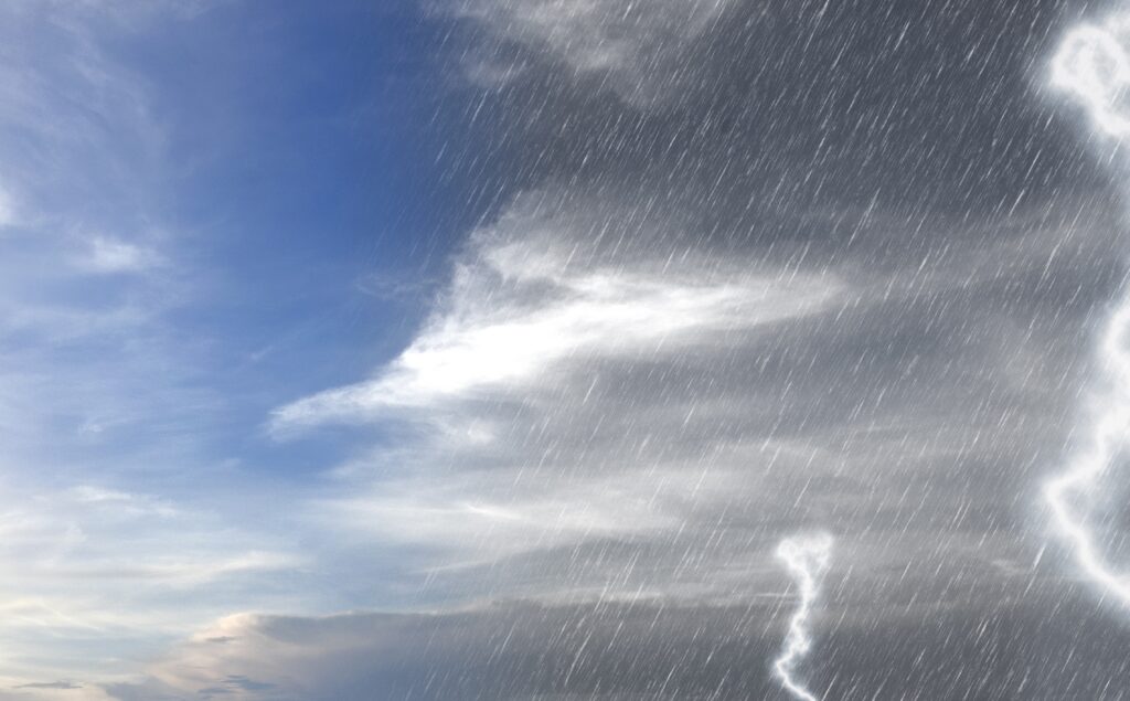
When will the storms arrive? Credit: leolintang - Shutterstock
Spain has officially completed one of the most extraordinary months in its modern climate record. July 2026 matched July 2022 as the hottest July since nationwide records began, with an average temperature of 25.7°C across the country, including the normally cooler north. At the same time, it became the driest July since records began in 1961, with just 4.3 litres of rain per square metre falling nationwide.
After two months dominated by relentless heat, four official heatwaves and exceptionally dry conditions, meteorologists say the atmosphere is finally beginning to change. While the heat is far from over, the weather pattern is becoming more changeable, bringing a growing risk of thunderstorms to parts of Spain during the first half of August.
For millions of people, this summer has meant sleepless tropical nights, soaring daytime temperatures and weeks without meaningful rainfall. August may bring some relief from the stagnant pattern that has dominated much of June and July, although that relief could arrive in the form of sudden, powerful storms rather than widespread cooler weather.
🌡️🌃 La próxima noche será tórrida a orillas del Mediterráneo.
🌙 😴 Dormir volverá a ser complicado en ciudades como Barcelona, Alicante o Palma.
🗞️ https://t.co/W74CPtORg0 pic.twitter.com/UcwTBfICWV
— Meteored España (@MeteoredES) August 4, 2026
Why Spain’s weather is beginning to change
The change is being caused by the polar jet stream, which has started to follow a more pronounced wavy pattern. Instead of staying locked far to the north, it is allowing pockets of cooler air to dip south over the Iberian Peninsula.
When this cooler air meets Spain’s intensely heated ground and unusually warm Mediterranean waters, the atmosphere becomes increasingly unstable, creating favourable conditions for thunderstorms. The result is likely to be a more unsettled pattern than much of the summer has seen, with hot, settled spells interrupted by outbreaks of heavy rain, lightning and hail.
Storms likely across northern and eastern Spain this week
That move is already becoming apparent. Over the coming days, thunderstorms are expected to continue affecting northern Spain, with some of the strongest storm cells extending into northern parts of the Costa Blanca and Valencia. Heavy downpours, hail, thunder and frequent lightning could develop with little warning, while isolated storms may occasionally spread further south towards Murcia and even parts of Almeria.
These storms will be highly localised, meaning one town could experience torrential rain while nearby areas remain completely dry.
The storms are unlikely to bring lasting relief from the heat. Across much of eastern and southern Spain, nights will remain warm and humid, while daytime temperatures continue to climb into uncomfortable territory, particularly inland and along the Mediterranean coast.
Recent storm development has already contributed to flight delays and diversions affecting airports around Valencia, Alicante and the Balearic Islands as rapidly developing storm clouds passed through the region.
Previsión de núcleos tormentosos 🌩 afectando a los aeropuertos de #Barcelona y #Palma. Demoras por seguridad. #SafetyFirst pic.twitter.com/qqWgIU2an9
— 😉Controladores Aéreos 🇪🇸 (@controladores) August 4, 2026
August is still expected to be warmer than normal
Despite the increasingly unsettled pattern, longer-range forecasts continue to indicate that August as a whole is likely to finish warmer than average across mainland Spain, the Balearic Islands and the Canary Islands.
Short-lived drops in temperature are expected as cooler air briefly arrives, but forecasters do not expect the background warmth that has characterised much of the summer to disappear completely.
Could late August be wetter?
Long-range European forecast models are also beginning to indicate a greater chance of above-average rainfall during the second half of August, particularly during the weeks of 17–24 August and 24–31 August.
While these projections cannot predict exactly where or when individual storms will develop, they suggest a higher likelihood of more widespread rainfall than Spain has experienced during much of the summer. In places where intense thunderstorms develop, localised flash flooding could become a risk.
Meteorologists stress that forecasts at this range carry considerable uncertainty, and the precise timing and location of any significant rainfall will only become clearer closer to the event.
For now, the overall picture is becoming clearer. The prolonged, locked-in heat that dominated June and July appears to be loosening its grip. August is still expected to deliver plenty of hot weather, but with a growing chance that dramatic thunderstorms will increasingly become part of Spain’s late-summer forecast.
Follow Euro Weekly News on Google News
Get breaking news from Spain, travel updates, and expat stories directly on your Google News feed.
Follow on Google NewsSign up for personalised news
Subscribe to our Euro Weekly News alerts to get the latest stories into your inbox!
By signing up, you will create a Euro Weekly News account if you don't already have one. Review our Privacy Policy for more information about our privacy practices.



Adam Woodward
Adam is a writer who has lived in Spain for over 25 years. With a background in English teaching and a passion for music, food, and the arts, he brings a rich personal perspective to his work at Euro Weekly News. As a father of three with deep roots in Spanish life, Adam writes engaging stories that explore culture, lifestyle, and the everyday experiences that shape communities across Spain.
Comments