Storm warning: Red alerts, torrential rain and 100km/h winds as Charles approaches
By Adam Woodward • Published: 10 Nov 2026 • 8:00 • 4 minutes read
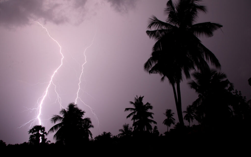
Red alerts for rain followed by strongest storm of year. Credit: Rahul D'silva - Shutterstock
Western Spain is bracing for several days of potentially dangerous weather, with the State Meteorological Agency (AEMET) warning of torrential rainfall, powerful winds and dangerous sea conditions as two major Atlantic weather systems affect the country.
A rare red weather alert has been issued for northern Caceres and southern Avila on Tuesday, November 10, with rainfall of up to 120mm possible in just 12 hours. The warning comes as Storm Bruna continues to affect the Iberian Peninsula and a second powerful system, subtropical Storm Charles, approaches from the Atlantic.
⚠️ Tiempo adverso por la borrasca Bruna el martes.
Norte de Cáceres y sur de Ávila: lluvias muy abundantes. Posibles inundaciones y aumento de caudales en ríos.
Islas canarias más montañosas, rachas de viento muy fuertes que pueden derribar árboles y objetos en zonas elevadas. https://t.co/q7SQjetbC4
— AEMET (@AEMET_Esp) November 9, 2026
Tuesday’s most severe rainfall is expected to affect northern Caceres and southern Avila, but attention is increasingly turning to Wednesday, November 11. This is when Storm Charles is forecast to bring a much wider spell of heavy rain and powerful winds across western and southern Spain.
Red alert as Extremadura faces exceptional rainfall
Última HORA!!
La Agencia Estatal de Meteorología emite un AVISO ESPECIAL debido al impacto que va a generar la Borrasca CHARLES durante el miércoles.
El aviso es tan largo que voy a destacaros lo que pone de nuestra comunidad. 🌀🌀🌀🌀🌀🌀🌧️🌧️🌧️🌧️☔☔🌬️🌬️🌬️🍃😱😱 https://t.co/aS1z53o0Dw— Meteo Málaga (@ivan_chamizo) November 9, 2026
Northern Caceres is expected to experience some of the heaviest rainfall on Tuesday, with AEMET warning that as much as 120mm could fall in 12 hours. Rainfall rates could reach 30mm in a single hour. The red alert, which indicates extreme danger, runs from 9am until 11.59pm. Southern Avila faces a similar warning.
The regional government of Extremadura has already announced that schools across northern Caceres will close on Tuesday and activated its special flood emergency plan. Residents are being warned about the possibility of flash flooding and rapidly rising rivers and streams.
The western half of the Sistema Central mountain range is particularly vulnerable, with rainfall totals potentially exceeding 120-150mm in some locations on Tuesday. Over the full weather episode, some areas could receive more than 300mm.
Storm Charles brings another wave of severe weather
Conditions could become even more unsettled on Wednesday, November 11, when Storm Charles is expected to reach the Iberian Peninsula, probably entering through Portugal.
It’s official. Our unpredictable storm has been named “Charles” by the IPMA, and despite lingering uncertainty on the extent of impacts across the country, the overall risk of significant rainfall and strong winds is increasing. https://t.co/uEdXfMGvlr
— Weather Watcher (@WXWatcher07) November 9, 2026
The subtropical-origin depression is carrying a mass of warm, moisture-laden air from tropical latitudes. Its interaction with the existing weather system is expected to produce widespread rainfall, with particularly heavy and persistent downpours across western and southern Spain.
AEMET forecasts that 40 to 60mm of rain could fall across parts of western, southern and central Spain on Wednesday. Some mountainous areas could receive considerably more. Particular concern surrounds the Serrania de Ronda, Grazalema, Sierra Nevada and other mountain ranges in Malaga Province, where rainfall could approach 100mm during the day. The precise distribution of the heaviest downpours remains uncertain as Charles approaches.
Western Andalucia, Extremadura and parts of Castilla y Leon are also expected to experience difficult conditions. The developing situation follows earlier warnings of heavy rain across Spain, when Storm Bruna began bringing persistent rainfall to western parts of the country.
Winds of more than 100km/h and dangerous seas
AEMET warns that winds will strengthen considerably as Charles approaches, with gusts exceeding 90-100km/h possible across exposed areas of western and southwestern Spain. Lower-lying parts of Andalucia, particularly close to the coast, could also experience exceptionally strong gusts. The Canary Islands face an even greater threat in exposed mountainous locations, where gusts could exceed 130km/h, particularly in La Palma and Tenerife.
Some lower-lying areas of Andalucia, particularly close to the coast, could also experience exceptionally strong gusts. The Gulf of Cadiz is expected to experience increasingly dangerous sea conditions, with combined waves potentially reaching five metres by Wednesday evening. Western Galicia could also experience waves of four to five metres.
The Canary Islands will feel the effects earlier, with particularly strong winds expected in exposed areas of La Palma and Tenerife. Gusts could exceed 130km/h in some mountainous locations.
Spain’s Civil Protection authorities have issued a wider warning about the combined effects of Storms Bruna and Charles, including flooding, rising rivers, landslides and damage caused by powerful winds.
Conditions are hoped to gradually improve on Thursday
The weather picture will be different further east. Much of eastern Spain and the Balearic Islands are expected to escape the heaviest rainfall on Tuesday and Wednesday, although strong winds could affect eastern parts of the country and the islands on Thursday as the weather system moves away.
AEMET expects the worst of the weather to begin easing on Thursday as Charles moves northeastwards and gradually loses intensity. However, locally heavy and persistent showers could continue in parts of northern Spain, while powerful gusts may shift towards central and eastern areas.
The agency stresses that the precise route of Charles remains uncertain. Even relatively small changes in its trajectory could alter which areas receive the heaviest rainfall and strongest winds.
Residents, holidaymakers and anyone planning to travel through western Spain are being advised to follow AEMET’s latest weather warnings and instructions from local authorities.
With the ground already receiving substantial rainfall from Bruna, the arrival of Charles raises further concerns about flooding, rising rivers, landslides and damage caused by powerful winds.
Follow Euro Weekly News on Google News
Get breaking news from Spain, travel updates, and expat stories directly on your Google News feed.
Follow on Google NewsSign up for personalised news
Subscribe to our Euro Weekly News alerts to get the latest stories into your inbox!
By signing up, you will create a Euro Weekly News account if you don't already have one. Review our Privacy Policy for more information about our privacy practices.





Adam Woodward
Adam is a writer who has lived in Spain for over 25 years. With a background in English teaching and a passion for music, food, and the arts, he brings a rich personal perspective to his work at Euro Weekly News. As a father of three with deep roots in Spanish life, Adam writes engaging stories that explore culture, lifestyle, and the everyday experiences that shape communities across Spain.
Comments