Yellow warnings active – What the weather means for your weekend plans
By Adam Woodward • Published: 24 Apr 2026 • 11:39 • 2 minutes read
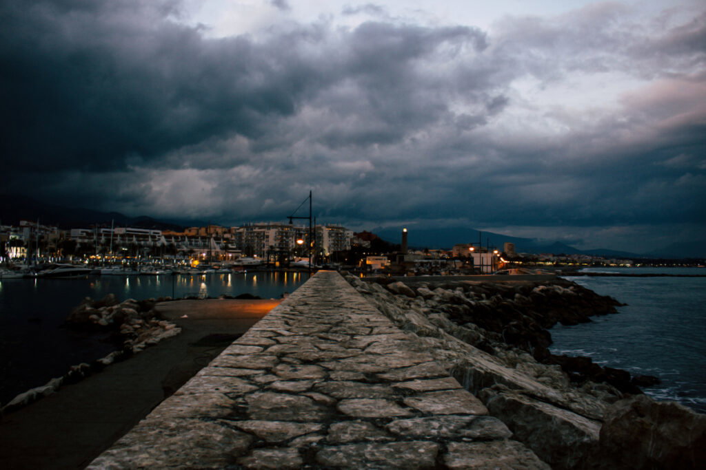
Storm clouds gather over Estepona harbour. Credit: Ekaterina Chuyko - Estepona
Spain is due to have a short break from recent dry spring weather. A small cut-off low-pressure system will bring atmospheric instability, especially in coastal areas. Showers are due to develop mainly on Saturday before conditions ease again during Sunday.
Shared pattern across Southern and Eastern destinations
Very cloudy skies are likely to cover most areas on Saturday with occasional showers that turn locally heavy in places. Accumulations will reach up to 15 litres per hour in bursts, especially during afternoon hours. Calima, or Saharan dust in the air, will likely mix with precipitation to leave mud deposits on vehicles, streets and outdoor surfaces. White is not your colour this weekend. Yellow warnings are currently active in several Andalucian provinces for heavy rain potential.
⛈️ Ampliados los avisos amarillos por lluvias y tormentas a las provincias de #Cádiz (litoral y Estrecho), #Córdoba (Sierra y Pedroche) y #Jaén (Morena y Condado)
🟡 Se mantienen en #Granada, #Málaga y #Almería
Información detallada 👉 https://t.co/5DJp3rV4kZ pic.twitter.com/RelAu5aQQA
— EMA 112 (@E112Andalucia) April 24, 2026
Daytime highs are expected to range between 18 and 22 degrees Celsius, several degrees cooler than previous days due to persistent clouds. Overnight temperatures will fall to as low as 8 to 15 degrees Celsius depending on location and elevation.
Sunday is expected to deliver noticeable improvement everywhere. Cloud amounts decrease across all listed regions while shower risks drop sharply. Sunny intervals will increase through the day and allow temperatures to recover modestly. Highs climb toward 20 to 23 degrees Celsius in most spots. Winds are expected to stay light and variable with no strong gusts forecast.
How conditions vary slightly by area
Coastal stretches such as the eastern Costa del Sol and Costa Blanca are expected to experience fewer intense downpours than inland zones on Saturday. Malaga and Alicante zones will see scattered showers that clear faster toward evening. Granada, being at a higher elevation, will see the greatest chance of heavy rain and possible thunder over its sierras. Almeria and Murcia are predicted to share similar unsettled skies on Saturday but will benefit from quicker drying trends as the system weakens eastward.
Mallorca faces the lowest overall impact from this DANA. Variable clouds dominate Saturday with only moderate shower probabilities, concentrated in northern or interior parts of the island. Coastal areas around Palma stay largely dry or see brief light rain.
All regions enjoy the same recovery on Sunday. Drier air spreads widely and supports outdoor plans with growing confidence. Beach walks, sightseeing or mountain excursions gain appeal after Saturday’s wetter phase.
Practical advice for weekend plans
Temperatures will feel noticeably fresher on Saturday because of cloud and rain, so packing something waterproof wouldn’t be a bad idea for those spending time outside. The possibility of mud rain and calima on Saturday makes washing the car a good option for Sunday.
This brief unsettled period affects holiday enjoyment mainly on Saturday across Spain’s south and east coasts. Sunday offers more reliable dry weather suitable for typical spring activities in these Mediterranean locations. Early next week trends point toward continued stability before any further changes appear later.
Sign up for personalised news
Subscribe to our Euro Weekly News alerts to get the latest stories into your inbox!
By signing up, you will create a Euro Weekly News account if you don't already have one. Review our Privacy Policy for more information about our privacy practices.


Adam Woodward
Adam is a writer who has lived in Spain for over 25 years. With a background in English teaching and a passion for music, food, and the arts, he brings a rich personal perspective to his work at Euro Weekly News. As a father of three with deep roots in Spanish life, Adam writes engaging stories that explore culture, lifestyle, and the everyday experiences that shape communities across Spain.
Comments